The application of weather stations in transportation meteorology represents a typical paradigm of their evolution from basic observation to precision support and proactive prevention and control.Its core objective is to ensure traffic safety, improve operational efficiency, and optimize public services through accurate sensing and early warning of road micro-environments and regional weather conditions. As such, weather stations serve as core sensing units of modern intelligent transportation systems.
Specific applications of weather stations in various transportation scenarios are as follows:
1. Highway Transportation (Especially Expressways)
—— The Most Extensive and Urgent ApplicationThis is the top priority of transportation meteorology, focusing on addressing special road weather disasters.
Active Prevention and Control for Driving Safety
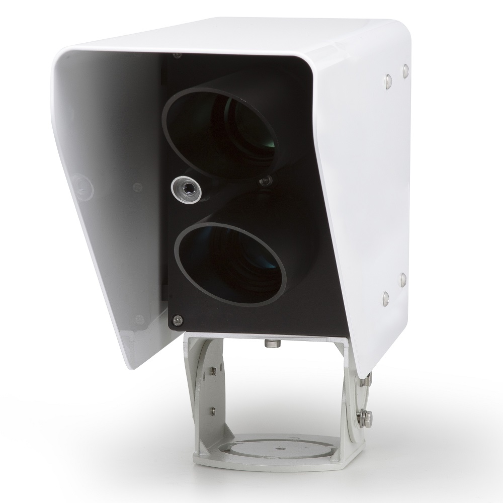
Fog / Low Visibility WarningVisibility meters and temperature-humidity sensors are deployed at fog-prone sections to monitor visibility in real time.When visibility falls below thresholds (e.g., 200 meters, 50 meters), the system automatically triggers variable message signs, speed-limit signs, and V2X RSU broadcasts to issue warnings, guide speed reduction, or divert vehicles off the expressway.
Road Icing / Snow Accumulation WarningRoad sensors (monitoring pavement temperature, wet/dry status, freezing point, snow depth) and weather stations (monitoring air temperature, precipitation type) are installed on bridges, tunnel portals, shaded slopes, and other icing-prone sections.The system predicts the risk of black ice formed by ice-water mixtures and automatically activates spray-type de-icing systems or alerts maintenance crews before icing occurs.
Strong Crosswind WarningAnemometers and wind vanes are installed on river-crossing, sea-crossing bridges, and mountain pass sections.When crosswinds exceed safety thresholds, warnings are sent to high-risk vehicles such as coaches and container trucks via variable message signs and navigation apps to prevent rollovers.
High Temperature and Tire Risk AlertsUnder prolonged high temperatures, pavement temperature may far exceed air temperature, increasing the risk of tire blowouts. Monitoring data is used to provide safety tips for passing vehicles.
Traffic Management and Emergency Response
Scientific Decision-Making for Traffic Restriction / Road ClosureBased on real-time monitoring and nowcasting, objective and quantitative support is provided to traffic authorities for decisions on speed limits, vehicle-type restrictions, and road closures during severe weather such as heavy rain, blizzards, and sandstorms.
Optimized Winter Maintenance StrategiesMeteorological data guides precision spreading of de-icing agents and snow removal operations, replacing inefficient manual and extensive application. This improves effectiveness while reducing costs and environmental pollution.
2. Air Transportation
—— Highest Standards and Strongest Real-Time PerformanceAirport weather stations (AWOS/ASOS) act as the “eye in the sky” for flight safety and on-time performance.
Flight Safety Support
Critical Monitoring for Takeoff and LandingReal-time data including Runway Visual Range (RVR), ceiling height, wind direction and speed (especially gusts and crosswinds), and low-level wind shear directly determine whether aircraft can take off or land.
Thunderstorm and Hail WarningMonitoring of thunderstorms and severe convective weather provides decision support for airport scheduling (arrival sequencing, ground parking) and airlines (rerouting, diversion), avoiding hazardous ground and airborne operations.
Air Traffic and Airport Efficiency Optimization
Flow ManagementSevere weather reduces airport capacity. Accurate weather forecasts help air traffic control issue large-scale delay warnings and implement flow control in advance, reducing airborne holding and ground congestion.
Ground Operation GuidanceWhen heavy snow or freezing rain is forecast, de-icing and snow-clearing vehicles are pre-deployed to shorten aircraft ground waiting time.
3. Railway Transportation
—— Evolving Toward High Speed and IntelligenceWith the popularization of high-speed railways, sensitivity to weather conditions has increased dramatically.
Safe Operation of High-Speed Railways
Strong Wind Prevention and ControlA wind monitoring network is established along high-speed rail lines, especially on viaducts, cuttings, and wind gaps.When wind speed exceeds shutdown standards, the system automatically alarms, and the control center can instruct trains to slow down or stop.
Rail Temperature ControlAir and rail temperatures are monitored. Extreme high temperatures may cause rail buckling, while extreme low temperatures may lead to brittle cracking, requiring speed limits or inspection measures.
Heavy Rain and Flood WarningRainfall monitoring along lines, combined with geological data, provides early warning of landslides, debris flows, and track flooding to achieve proactive risk avoidance.
Regular-Speed and Freight Railways
Sand Prevention and ControlSandstorm monitoring in desert sections triggers wind and sand control facilities to ensure safe train passage.
Freezing, Rain, and Snow ProtectionPrevention of ice accumulation on overhead contact systems and freezing of switches ensures normal power supply and switching for electrified railways.
4. Water Transportation (Inland and Ocean Navigation)
—— Reliant on Wide-Range Meteorological Information
Inland River and Port Shipping
Visibility Navigation ControlVisibility is monitored at key ports and waterways. Traffic control is enforced and vessel entry/exit is prohibited when visibility is too low.
Strong Wind ControlWhen wind speeds exceed safety standards for terminal operations, lifting is suspended; when mooring safety limits are exceeded, reinforcement measures are implemented.
Ocean Navigation
Route Optimization and Disaster Avoidance
Vessels receive global meteorological routing services. Using ocean weather forecasts (wind, wave, surge, fog), the safest and most efficient weather route is selected to avoid hazardous sea areas such as typhoons and extratropical cyclones.
5. Urban Intelligent Transportation
—— Integrated into the Smart City Brain
Urban Traffic Congestion Management
By analyzing the relationship between rain, snow, haze, and urban road speed/congestion indexes, traffic authorities can pre-deploy police forces and adjust traffic signal timing when severe weather is forecast.
Public Travel Services
Processed weather station data is pushed to mapping platforms such as Baidu Maps and Amap, providing lane-level weather warnings (e.g., “Bridge icing ahead — drive with caution”) and planning optimal routes to avoid severe weather.
Summary and Trends
The application of weather stations in transportation is characterized by the following core trends:
From Single-Point Monitoring to Networked Sensing:Dense transportation meteorological observation networks are formed along trunk lines for full coverage.
From Data Provision to Intelligent Decision-Making:Data is directly integrated into traffic management platforms (expressway control centers, ATC towers, smart city brains). Combined with video, radar, and vehicle trajectory data, AI models automatically generate control recommendations.
From Human Reception to Vehicle-to-Everything (V2X) Direct Transmission:Hazardous weather warnings (fog, icing, etc.) are sent directly to connected vehicles via V2X technology for millisecond-level active safety intervention.
Multi-Modal Coordination:Unified weather data platforms will support coordinated scheduling across highways, airports, and ports during events such as heavy fog.
In conclusion, the core of transportation meteorology is to transform weather — the greatest external uncertainty — into quantifiable, predictable, and controllable internal variables for traffic management systems through precise monitoring and forecasting.It serves as the lifeline ensuring the safety and efficiency of modern high-volume, high-speed transportation systems.